Raymarine Chartplotter


bigwaves

New member
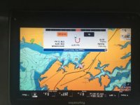
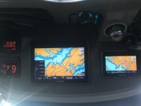
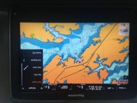
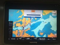
Just 3 weeks ago I purchased my first boat, a 41 PC. She has Raymarine electronics - 12” and 7” MFDs “a series” models, depthfinder, autopilot and two VHF radios. The chartplotters run Lighthouse II v19.03. What are your opinions on Lighthouse II? I hear a lot of good things about Navionics. I’m in the Chesapeake Bay and so far I’ve been happy with the current setup but I really don’t have anything to compare it to.
 
I think you may be comparing apples and oranges. Lighthouse is the operating software for Raymarine units (in your case, Lighthouse 2).

Navionics would be the map data SD card you can purchase to get greater geographical detail.

The base maps in Lighthouse are rubbish; I'd never want to cruise in unknown waters relying on them.

I had a Navionics Platinum chart in my Raymarine for my area, and it was very reliable. I'd highly recommend getting one.
 
Thanks FastMarkA, would I just need to purchase Navionics charts on an SD card and install them on my Raymarine MFDs?
 
Thanks FastMarkA, would I just need to purchase Navionics charts on an SD card and install them on my Raymarine MFDs?

Yep. I'm not familiar with the A-series, but on the eS (that's what I had), there was a "door" on the face that opened up, and the SD card slots were there.

It's pretty much plug-and-play; the Raymarine will recognize the chart card and update almost immediately.
 
Yes, get the Navionics card for where you're boating. On my e-Series Raymarine MFD which is very similar to the a-Series, open the small door and insert the micro SD card. It works well. The Raymarine base load maps, as another poster has indicated, are junk. Also, be careful if you want to save waypoints. You want to save them to a different Micro SD card other than the one on which the Navionics chart card came. Lastly, you can find on line the Raymarine user manual for your MFD. Good luck.
 
We have the Raymarine units with Navionics charts. Works great! As backup we also use the Navionics app on a IPAD. Its a subscription but updates are always current.
 
Navionics installed on my Raymarine MFD. The charts look similar to the Navionics on my iPhone and iPad but there is no auto routing like on the iPad. Instead it plots a route in a straight line over land and try’s to engage my auto pilot. I’m about ready to just use my IPad and tape it over the Raymarine MFD. The iPad version works and is more user friendly.
 

Attachments

  • 6D906A57-1007-4168-88A7-6AB0301D822B.jpg
    6D906A57-1007-4168-88A7-6AB0301D822B.jpg
    17.8 KB · Views: 19
  • F222ACFC-0AE6-44CC-AFC6-1A91020C366D.jpg
    F222ACFC-0AE6-44CC-AFC6-1A91020C366D.jpg
    12.5 KB · Views: 19
  • 4992628C-A686-40CD-AEA1-431ED812CEF9.jpg
    4992628C-A686-40CD-AEA1-431ED812CEF9.jpg
    18.3 KB · Views: 20
I can select “go to cursor” or “go to waypoint” then the system engages the auto pilot. When that happens an assortment of mechanical sounds begins. I would just like the chart plotter to draw a route on the chart then I will follow the route just like I can do with my iPhone or iPad. I don’t need or want the auto pilot kicking in. I don’t trust the auto pilot due to my lack of expertise with it. Why can’t Navionics on the chart plotter be as easy to use as the Navionics on my phone and iPad. I may have just wasted $150. But that’s really nothing in the boating world.
 
Last edited:
I figured it out with the help of a video I found! Another small victory!
 

Attachments

  • DE854182-B8F5-4AEC-A3DA-16ED2D61504B.jpg
    DE854182-B8F5-4AEC-A3DA-16ED2D61504B.jpg
    18.5 KB · Views: 28
Glad you got it figured out, I had similar trouble with my Simrads dock to dock routing when I first got it.


Sent from my iPhone using Tapatalk
 
I elected not to tie my pilot to the plotter. I think its simpler to plot course read the heading and turn the boat to heading with pilot......
 
Back
Top